


East Center Voting District, Rawlins County, Kansas
About
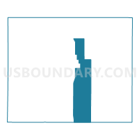
Outline

Summary
| Unique Area Identifier | 586339 |
| Name | East Center Voting District |
| County | Rawlins County |
| State | Kansas |
| Area (square miles) | 97.56 |
| Land Area (square miles) | 97.55 |
| Water Area (square miles) | 0.01 |
| % of Land Area | 99.99 |
| % of Water Area | 0.01 |
| Latitude of the Internal Point | 39.71600620 |
| Longtitude of the Internal Point | -101.01975210 |
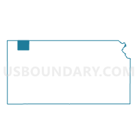
Maps

Graphs
Select a template below for downloading or customizing gragh for East Center Voting District, Rawlins County, Kansas


Neighbors
Neighoring Voting District (by Name) Neighboring Voting District on the Map
- Atwood Township Voting District, Rawlins County, KS
- Driftwood Township Voting District, Rawlins County, KS
- Herl Township South Voting District, Rawlins County, KS
- Ludell Township Voting District, Rawlins County, KS
- Rovohl Township Voting District, Thomas County, KS
- Union Township Voting District, Rawlins County, KS
- West Center Voting District, Rawlins County, KS
Top 10 Neighboring County Subdivision (by Population) Neighboring County Subdivision on the Map
- Atwood township, Rawlins County, KS (1,230)
- Herl township, Rawlins County, KS (310)
- Center township, Rawlins County, KS (268)
- Rovohl township, Thomas County, KS (132)
- Ludell township, Rawlins County, KS (81)
- Driftwood township, Rawlins County, KS (74)
- Union township, Rawlins County, KS (39)
Top 10 Neighboring Unified School District (by Population) Neighboring Unified School District on the Map
- Colby Public Schools Unified School District 315, KS (6,649)
- Rawlins County Unified School District 105, KS (2,108)